53,750 tours & cruises around the world.
Quick Search
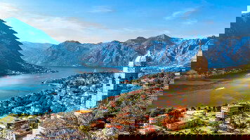
Trending Destinations...

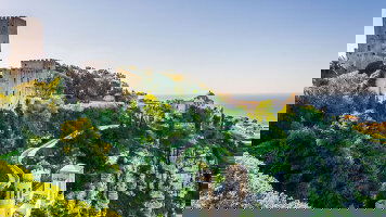


Featured Trips
")
")
")
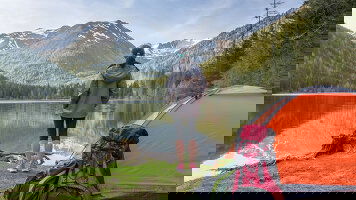
18 Days Sofia to Athens
Operator: Albatross
")
The World's Leading Operators & Cruise Lines


Scenic Touring Experience more on a scenic cultural tour guided by the experts
Let the experts share their knowledge on a guided tour anywhere in the world.
Escorted coach tours are the perfect way to enjoy the destination & camaraderie of your fellow travellers.

Small group guided touring with groups sizes from 6 to a maximum 24 travellers only.

Guided adventures and group tours for those travellers aged from 18 to 39 years.

Discover Europe's Christmas markets or escape the crowds with these trips departing between October to April.
Experience all the joy of nostalgic rail travel through some of the world's greatest landscapes.

Family tours & cruises specifically designed for families or grandparents travelling with children.
Accommodation, transport, local guides & sightseeting are all organised - the rest is up to you.
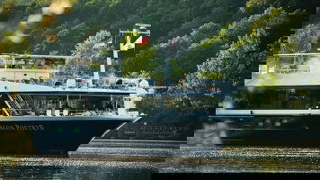
Cruising Ocean cruises, coastal cruises, sailing adventures and river cruises
Cruise the rivers and waterways of Europe and Asia with the worlds best operators.
Small ship luxury cruises, large ocean cruises and coastal cruises.
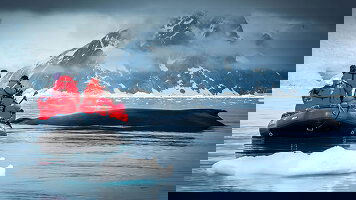
Explore the Polar regions and other destinations not accessible by traditional cruise lines.
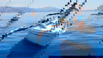
Sail the coastlines and around the islands of some of most beautiful places on earth.
Adventures Looking for a more active small group adventure?

Small group active adventures including walking, cycling, hiking and safari trips.
Explore new places and unleash your potential on a guided walk or hiking holiday.

Through forests & jungles or narrow cobblestone streets, there's a cycling holdiday for everyone.

Soak up the rich cultures and traditions of Nepal on one of these guided trips to Everest Base Camp.
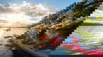
Kayaking tours for both beginners and more experienced kayakers.

The slopes are calling! Embark on a guided ski adventure to the US, Japan or Europe.
Immerse yourself in the great outdoors and start your next camping adventure!

From the plains of Africa to the shores of the Galapagos - it's time to get back to nature!
Luxury Travel Experience your next journey in style

Luxury 5 star guided tours & holidays taking you to the exotic and iconic destinations around the world.
Embark on a luxury five star cruise to discover iconic ports and exotic destinations in absolute comfort.
Luxurious and spacious cabins, gourmet meals, included shore excursions and fully all inclusive.
Discover luxury and exclusivity with our collection of exceptional small group tours and adventures.
Special Interest Our collection of tailored special interest tours

Take a faith based journey to renew your faith, reaffirm your beliefs, and witness the sites of religious history.

Commemorate our fallen heros on the battlefields of Northern Europe and England.

Guided itineraries to some of the worlds best and unique festivals and one off events.

Tours and river cruises designed to embrace each culture's unique and sumptuous culinary delights.
Last Minute Deals Looking to travel in the next 3 months? Explore our exclusive last minutes deals
Let’s Plan Your Next Adventure
9,224 Trip Reviews
Thank you Grace for looking after us we would recommend Grace as a travel agent nothing was to much bother and responses to our questions were always timely.
Latest Brochures
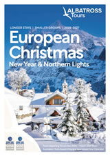
Albatross European Christmas, New Year & Northern Lights (2026-27)
Albatross Europe & UK (2027)
Scenic Expedition Voyages (2027-29)
Aurora Expeditions Arctic & Beyond (2026-27)
Plan Your Journey
Award Winning
- 2025 APT Hall of Fame Agency
- 2026 Wendy Wu VIP Gold Agency
- 2025-2026 APT McGeary Club
- 2024-2025 Scenic Highest Sales Online Agency Australia
- 2024-2025 Scenic Diamond Agency
- 2023 APT Oustanding Sales
- 2023 Top Agency Scenic Tours & Cruises
- 2023 NTIA Finalist Most Outstanding Hybrid OTA
- 2022 NTIA Finalist Most Oustanding OTA
- 2018 NTIA Finalist Best Online Travel Agency
- 2011-2025 Top Agency Trafalgar
- 2011-2025 Platinum Seller Avalon, Globus & Cosmos
- 2015 NTIA Winner Best Online Travel Agency
- 2018-2019 Top Online Agency Insight Vacations
- 2019 NTIA Finalist Best Online Travel Agency
- 2013-2025 APT VIP Diamond Agency
- 2010-2025 AAT Kings A-Listers Top Achieving Agency
- 2017 NTIA Finalist Best Online Travel Agency
- 2019 Top Agency Luxury Gold
- 2011-2025 Top 10 Agency Grand Pacific
- 2018 CLIA Finalist - Online Cruise Agency of the Year
- 2017-2025 Scenic Elite Partner
- 2011-2017 Top Agency Insight Vacations
- 2016-2025 Tauck Accredited Agency
- 2015-2025 Platinum Circle Viking River Cruises
